✦ Free · No sign-up · No install
Make beautiful
maps
in minutes
Color any country, state or region with your data. 200+ maps, 4 coloring modes, publish-ready exports.

Free
Always
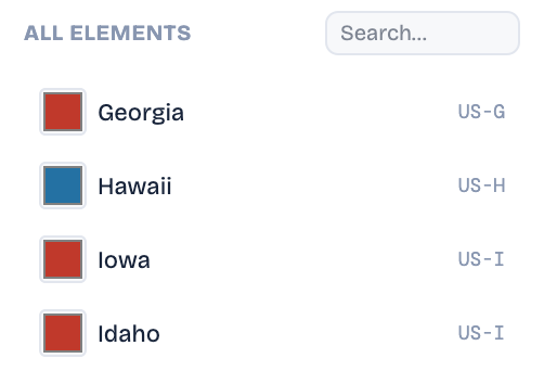
200+
Maps available
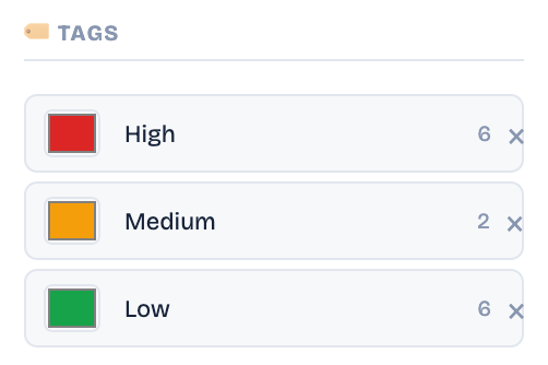
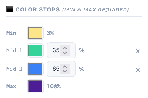
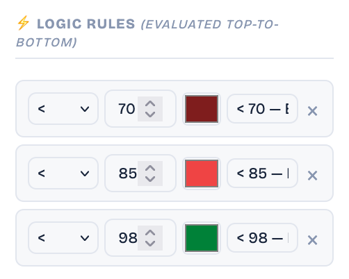
4
Color modes
PNG + SVG
Export formats